Gene Bisbee (2)
Destination:
Washington
Following the Foothills Trail
By Gene Bisbee
A short distance ahead, the Carbon
River rushes past the trail in a wide chan-
nel choked with rocks and sediment
scoured away by the mountain’s lowest
glacier. More often than not, I’ll stop, lean
my bike against the back of a bench and
have a seat.
This paved segment of the Foothills
Trail is a good trail for exercise, as it
runs uninterrupted for 15 miles with an
imperceptible 400 feet of elevation gain.
In places like this, where the forest closes
in and the river runs wild, the trail also
offers day-trippers quiet spots to pause for
reflection.
The entire trail rolls for 30 miles, with
T
here’s a spot on the Foothills Trail in western Washington where
I always slow down. It’s not a sudden steep climb or dicey
patch of gravel that causes me to feather my bike brakes on the
outskirts of Orting. It’s the imposing and ever-changing view of glacier-
capped Mount Rainier seemingly emerging at the end of the trail.
One time the sun may be striking the craggy face of the 14,410-foot-
elevation volcano in a way I’ve never seen previously; another time a
flying-saucer-shaped lenticular cloud may be floating above the summit.
some gaps, along river valleys at the base
of the Cascade Range. It passes through
farmland and forest along the abandoned
corridor of the Northern Pacific Railway
that began serving the port of Tacoma in
the early 1870s.
Other unattached paved sections—
each two to four miles long—are located
to the north in Enumclaw and Buckley
and trace the old train route toward St.
Paul, Minn.
Adventuresome hikers and mountain
bikers may want to follow the dirt single-
track segment that runs about four miles,
connecting the historic towns of Wilkeson
and Carbonado on the railroad’s southern
branch to the coalfields at the base of
Mount Rainier. Another loopy segment
of paved rail-trail less than two miles long,
in an area known as Cascade Junction,
crosses creeks and ravines on four bridges.
(Unfortunately, this segment—normally
accessible only by a frequently flooded
path that starts at a “Proceed at Your Own
Risk” sign—was just made more difficult
to access due to bridge damage on the seg-
ment’s northern end.)
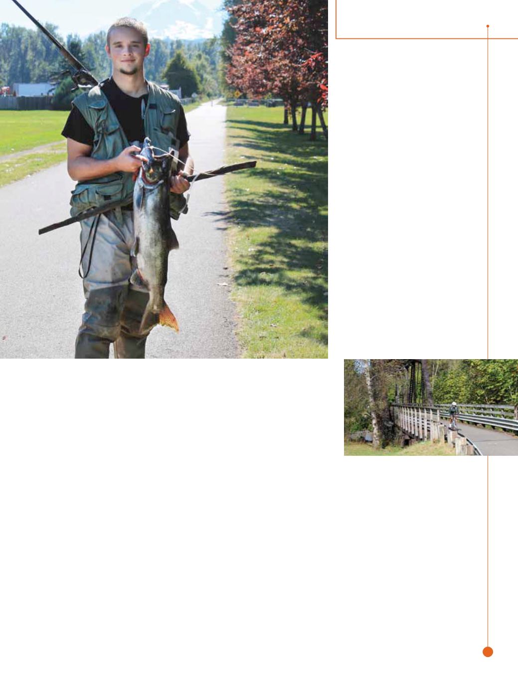
On the main 12-foot asphalt trail,
you’ll find cyclists on training rides, walk-
ers stretching their legs, moms and dads
pushing strollers, and dog owners exercis-
ing their pets. They use words such as
clean
,
safe
,
scenic
and
friendly
to describe
the trail and its vibe.
Thirty-some years ago, the late Douglas
Tait, a Buckley physician, was looking
for a way to keep his clientele active and
healthy when he witnessed Burlington
Northern Railroad crews pulling up the
abandoned tracks of the old Northern
Pacific. Doc Tait thought the rail corridor
would make a great trail for Pierce and
southern King counties.
When I asked Foothills Rails-to-Trails
Coalition (
piercecountytrails.org
)
President Buzz Grant about the trail’s
origins, he called Doc Tait the “father of
the trail.” It was Tait who came up with
the idea, helped form the coalition and
hosted the first meetings in his office with
like-minded residents to move the trail
concept forward. “He thought the trail
would be a healthy thing for his patients
and everyone around here,” said Grant.
“He could see the good it would do for
people’s health.”
27
destination
rails
to
trails
u
spring/summer.15


