


 13 / 32

a set of analytical tools that will help to
create regional trail systems. This three-
year initiative, launched by RTC in 2014
in collaboration with a national team of
researchers, combines data, research and
information technology to create the
country’s first tools to measure trail-sys-
tem connectivity, demand and economic
impact.
For Laughlin, RTC’s continued focus
on technology helped propel RTC for-
ward in the past decade and will be a key-
stone of its successful future.
“When we launched our mapping
initiative in 2006 and started to inven-
tory all the rail-trails in America, it was
the beginning of RTC’s use of informa-
tion technology to forward our work,”
says Laughlin. “Due to our GIS map-
l
January
RTC accepts a
leadership role
in the
Industrial
Heartland Trails
Coalition
, which
is working
to create a
1,450-mile
trail network
through Ohio,
Pennsylvania,
West Virginia and
New York.
February 11
RTC and the
Partnership
for Active
Transportation
unveil the
Safe Routes to
Everywhere
policy platform
calling for
increased
investment of
healthy active-
transportation
infrastructure
and policies.
June
RTC launches the
T-MAP
initiative
to create the U.S.’
first modeling
tools to measure
trail-system
connectivity,
demand and
potential impact.
June
RTC takes
the helm to
create the
Bay
Area Trails
Collaborative
, a
40-organization
coalition working
to create a 1,000-
mile world-class
regional trails
network.
October 10
With local
partners in
Wisconsin, RTC
develops a vision
for the
Route
of the Badger,
a
400-mile-plus
trail network
that will create
vital connections
in the southeast
part of the state.
2014
l
2015
November
RTC takes the lead in the
Baltimore Greenway Trails
Network Coalition
to create
a 35-mile loop of urban trails
connecting neighborhoods,
transit, parks and Baltimore’s
waterfront.
l
2016
February 1
RTC celebrates its 30th
anniversary with more
than
160,000 members
and
supporters and more than
22,000 known miles of rail-
trails
in America.
ping project, our TrailLink website now
attracts 7 million trail users per year.”
He adds, “Building upon the suc-
cess of TrailLink, T-MAP focuses on the
innovative use of information technology
to advance the creation of regional trail
systems. With such tools, we will remain
on the cutting edge of innovation, which
helps us to achieve our mission of creat-
ing ‘healthier places for healthier people’
through trails. Our ultimate goal is to
improve the economic and environmen-
tal health of American communities and
the personal health of the people who
live there. To achieve this, we will recon-
nect America with trails in the same way
that railroads once connected people and
places.”
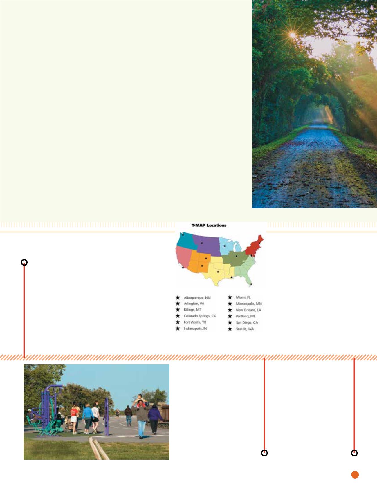
WILSON HURST
The scenic 238-mile Katy Trail in Missouri
was made possible in part by the
railbanking process, which RTC fought to
protect in the early years of its existence.
To learn more about the history of RTC and view an extended, interactive timeline,
go to
railstotrails.org/30th .JEFF LA NOUE
Jones Falls Trail in
Baltimore, Maryland
rails
to
trails
u
spring/summer.16
11